

TINAI

9 Themes
50+ Tools
34 Thematic Layers
AI Chatbot
Interactive Analysis
Predictive Projections

About TiNAI

Ancient Tamil literature describes land and human activity through the concept of Ainthinai ( ஐந்திணை )—five distinct landscapes that structured life, livelihoods, ecology, and settlement patterns in Tamil Nadu: Kurinji (mountains), Mullai (forests and pastoral lands), Marutham (agricultural plains), Neithal (coastal regions), and Paalai (arid landscapes). This early understanding reflects one of the world’s earliest forms of landscape-based planning, where land use was closely aligned with natural systems and human needs.

Building on this foundational wisdom, TiNAI — Tamil Nadu Land Use Information System is an integrated, geospatial and AI-enabled decision-support platform developed to strengthen evidence-based planning and land-resource governance in Tamil Nadu. By combining spatial analytics, digital twin visualisation, and artificial intelligence, TiNAI enables users to understand land-use patterns, assess sectoral interactions, and support informed policy and planning decisions.

The platform is designed as a modular system with two core functional units that together translate complex spatial data and research outputs into actionable insights for planners, administrators, researchers, and citizens.

Features

  • GIS Icon
    A comprehensive platform for integrating GIS models and incorporating existing predictive models from researchers worldwide.
  • Data Icon
    A diverse range of both spatial and non-spatial data.
  • Management Icon
    Advanced capabilities for comprehensive data management, analysis, and dissemination.
  • Insights Icon
    Information and insights, guiding data-driven decision-making across various domains.
  • Users Icon
    Caters to a broad spectrum of users, including policy makers, government officials, planners, scientists, city planning teams, and local government departments and institutions.
Thematic Modules

TiNAI is being developed as a modular and evolving platform. Future phases will focus on expanding thematic coverage, strengthening interoperability with departmental systems, improving analytical depth, and enhancing user experience. As additional datasets and research outputs become available, they will be progressively integrated into the platform in coordination with concerned departments and agencies.
LULC Module

Land Use and Land Cover Module (LULC)

The LULC Module presents spatial information on land use across Tamil Nadu based on NRSC land-use classifications, covering agriculture, forests, fallow land, water bodies, and built-up areas. Users can view land-use coverage and land-use trends using multi-temporal LULC datasets (2005–2024) through interactive maps and visual comparisons at State and district levels. The module also includes tools to view fallow land status and annual forest cover as derived from LULC datasets. By examining land-use patterns spatially and temporally, users can interpret regional variations and changes over time. These visualisations provide a common spatial reference to support land-use planning and policy discussions.

Agriculture

Forest Module

The Forest Module provides spatial visualisation of forest cover and selected forest-related ecological features across Tamil Nadu. Tools available under this module include forest cover change based on NRSC LULC datasets and mangrove cover derived from Resource Watch datasets. The module also presents spatial information on sacred groves based on a TNSLURB-supported study initiated in 2023, along with wetland polygons and agroforestry-related layers sourced from national datasets. Habitat-related datasets based on species presence information from research institutions are available as spatial references. Through spatial overlays and comparisons, users can interpret forest distribution and understand its spatial context in relation to surrounding land use and environmental conditions. Additional forest-related layers are under refinement.

Agriculture

Water Resources Module

The Water Resources Module presents spatial information on surface-water bodies, drainage networks, and groundwater-related indicators across Tamil Nadu. Tools under this module draw upon the Water Body Information System (WBIS) and Central Ground Water Board datasets, allowing users to view water spread, drainage patterns, and groundwater quality indicators.Users can examine spatial variations in water availability and water quality by viewing water-related layers alongside rainfall, temperature, and land-use information. The module provides a consolidated spatial view to support interpretation and discussion on water-resource planning and management.

Agriculture

Climate Change Module

The Climate Change Module consolidates spatial datasets related to rainfall, temperature, monsoon patterns, drought conditions, and heat stress. Available tools allow users to view rainfall and temperature data from WRIS datasets (1981–2023) and heat-stress layers derived from TNSLURB studies and SDMA sources. Additional station-based datasets from automatic weather stations and rain gauges are presented as spatial references. Prediction datasets for rainfall and temperature, based on global climate datasets, are available for contextual understanding. The module supports interpretation of climate variability across regions and time periods and provides spatial context for climate-resilience discussions.

Agriculture

Disaster Module

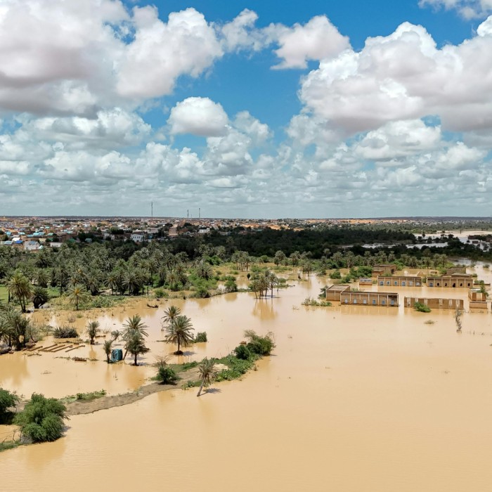
The Disaster Module provides spatial visualisation of selected hazard-related datasets, including flood inundation, landslides, forest fires, and heat waves. Under Phase I, landslide susceptibility and historical landslide inventory data for the Western Ghats are available, along with forest fire incident point data sourced from the Forest Survey of India. Heat-wave layers combining heat- stress data and settlement information are also presented. The module supports interpretation of hazard distribution and regional exposure, providing spatial context for preparedness and planning. Additional hazard- vulnerability layers are being strengthened progressively.

Agriculture

Agriculture Module

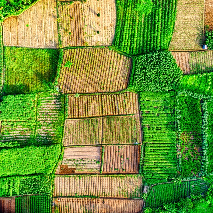
The Agriculture Module presents spatial information on cropping patterns, fallow land, and soil-related indicators using NRSC LULC and soil datasets. Tools under this module allow users to view crop-related spatial data and fallow land distribution across regions and time periods. By visualising agricultural layers alongside rainfall, groundwater, and land-use information, users can interpret spatial variability in agricultural conditions. The module supports discussions related to agriculture, land management, and resource planning.

Agriculture

Coastal and Marine Resources Module

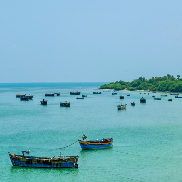
The Coastal and Marine Resources Module visualises spatial data related to coastal processes and marine environments along Tamil Nadu’s coastline. Available tools include shoreline erosion datasets for selected years and sea- surface temperature data derived from global satellite products. The module also presents coastal-vulnerability-related datasets developed through dedicated studies, covering parameters such as erosion, inundation, salinity, and climatic exposure. Spatial visualisations allow users to interpret regional coastal variations and provide a reference for coastal management and conservation discussions.

Agriculture

Urban and Peri-Urban Module

The Urban and Peri-Urban Module presents spatial information on urban growth, land use, water bodies, and selected environmental indicators. Tools under this module include urban expansion analysis based on revenue- village-level growth datasets and water-body change identification using WBIS integration. Urban heat layers derived from satellite-based temperature data are available, along with groundwater-related indicators from SDMA and CGWB datasets. Spatial datasets on urban transit infrastructure, including Chennai MTC, CMRL, and Metro networks, are also presented. Prediction datasets for urban growth for future years are available as spatial references to support interpretation and planning discussions.

Agriculture

Energy Module

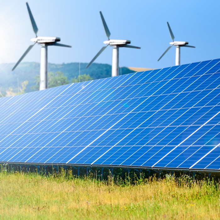
The Energy Module provides spatial visualisation of renewable-energy potential for solar and wind resources in Tamil Nadu. Currently, the SiteRight tool developed by The Nature Conservancy (TNC) is integrated, enabling suitability assessment for selected locations within the State. The module also presents spatial information on hydropower installations as reference layers. Users can view energy-potential layers alongside land-use and environmental datasets to understand spatial context relevant to clean- energy planning.

TiNAI Interfaces

TiNAI Geospatial Platform

The TiNAI Geospatial Platform is an interactive GIS-based system that provides structured access to spatial datasets, analytical dashboards, and decision-support tools across nine thematic modules. It enables users to explore maps, apply filters, and analyse land-use patterns through a combination of visual layers, charts, and automated textual interpretations. The platform allows users to navigate from high-level State views to district, block, and local-level analysis. Each module contains multiple analytical tools that support trend analysis, temporal comparisons, and indicator-based assessments. Automated analytics generate interpretative text and visual summaries, helping users clearly understand key insights without requiring advanced GIS expertise. Designed for planners, administrators, researchers, and departments, the TiNAI Geospatial Platform supports evidence-based planning, monitoring, and reporting by translating complex spatial data into actionable insights.

AI-powered TiNAI Digital Twin

The TiNAI Digital Twin is a first-of-its-kind public-sector interface in India that visualises land-use and development data through a dynamic digital twin map. It enables users to interact with layered spatial information, explore patterns, and understand system behaviour through intuitive visualisations and contextual narratives. Powered by semantic modelling, key performance indicators (KPIs) within each module are predefined and interconnected based on their causal relationships, enabling users to clearly understand linkages and interdependencies among indicators. Integrated with an AI-powered chatbot, this unit allows users to ask module-specific questions and receive data-driven responses by linking KPIs with underlying datasets. The AI interface supports interpretation, summarisation, and insight generation, making complex spatial and analytical information accessible to a wider range of users.

Contact Us

For queries, technical support, or feedback related to TiNAI, please contact, Tamil Nadu State Land Use Research Board, State Planning Commission.
Document